GIS and Interactive Mapping Solutions
Transform spatial data into powerful web applications
At Interjektio, we specialise in GIS and interactive mapping solutions that bring location-based insights to life. Our expertise covers PostGIS spatial databases, Python-based spatial processing, and OpenLayers-powered web mapping. We deliver solutions that not only meet demanding technical requirements but also provide tangible value: better decision-making, optimised operations, and compliance with EU standards.
Whether you need to visualise infrastructure data, manage spatial assets, or build real-time location-aware applications, we create robust GIS platforms designed to scale with your organisation’s needs.
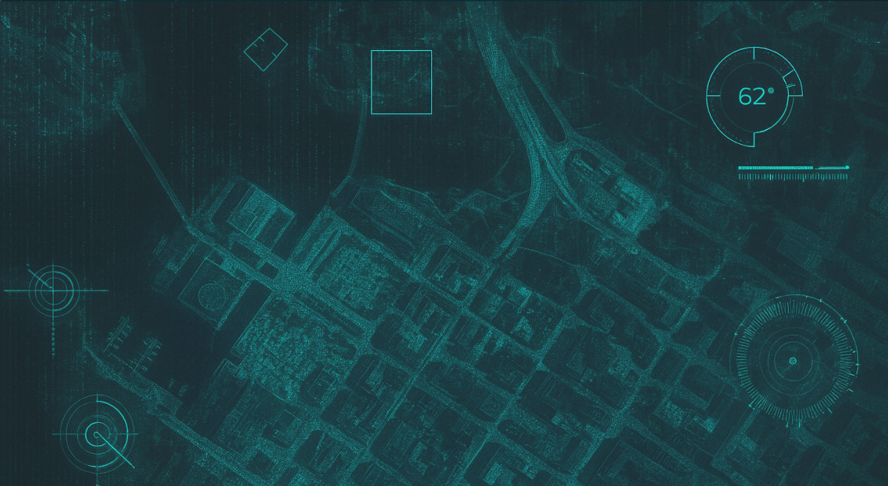
Interactive GIS Demo
Benefits for Clients
Our GIS solutions deliver measurable value across multiple dimensions:
- Operational efficiency: streamline asset management and infrastructure monitoring with spatial context
- Data-driven decision-making: interactive maps and real-time queries improve situational awareness
- Compliance and integration: leverage authoritative mapping services and international standards for seamless interoperability
- Scalability: our GIS platforms grow with your data and business needs, whether you manage hundreds or millions of spatial features
- User empowerment: editing tools and mobile-friendly interfaces enable end-users to contribute and act directly within the system
Key Technologies and Capabilities
Our comprehensive GIS expertise spans the full technology stack, from spatial databases to interactive web mapping interfaces:
Frontend Mapping
- Interactive maps with OpenLayers for rich, browser-based experiences
- Multi-layer visualisation with dynamic switching for context-rich insights
- Spatial drawing and editing tools to empower end-users with data input and annotation
- Real-time GPS positioning and geolocation features, enabling field operations and mobile use cases
- Integration with national and global basemap services, ensuring reliable basemap data
Spatial Database
- PostGIS-enabled PostgreSQL for performant, standards-compliant spatial data storage
- GeoAlchemy2 integration with Python, bridging backend logic and spatial databases
- Coordinate system and projection transformations, supporting global and local standards
- Spatial indexing and geometric operations, delivering efficient queries even on large datasets
- Support for standard geometry formats (WKT, WKB, GeoJSON, shapefiles, KML) – simplifying data exchange and interoperability with databases, APIs, and legacy GIS tools
Backend GIS Processing
- Python-based geoprocessing pipelines leveraging PyProj and related libraries
- Automated coordinate conversion scripts to unify heterogeneous data sources
- Spatial relationship management, e.g. “which assets are within this boundary?”
- Real-time spatial queries and filtering, enabling dashboards and live monitoring
- Geometry validation and manipulation, ensuring data integrity
Why Interjektio
We combine strong expertise in Python and PostgreSQL/PostGIS with modern frontend mapping frameworks. This full-stack capability ensures that our GIS solutions are not only technically robust but also deliver lasting value for organisations managing infrastructure, environmental resources, or location-based services.
Our approach:
- Secure and compliant by design (GDPR, EU standards)
- Performance-focused with spatial indexing and optimised queries
- Flexible integration with legacy systems and external services
At Interjektio, we turn complex geospatial data into interactive, maintainable, and future-proof applications.